Hi All -
Since Mike has added a new feature that lets you use locally-stored maps as an alternative to downloading tiles when you start an offline mission, I thought it would be a good idea to write a post on how to get those maps. Doing this means that you'll have map coverage for a mission without having to guess at a rectangle in advance. By way of background, I'm the creator of the new high-resolution USGS topo layer that was recently added to MM. I originally started that project because I noticed that mapping was a serious weak point on SAR ops, and I'd like to get the map data I've created into the hands of as many teams as possible.
Web maps for Google/OpenLayers are divided up into a set of 256x256 pixel tiles - it takes around 4 million to cover California at zoom 16, which is the furthest my tiles go. Although you can simply dump all those files on a drive and start using them, filesystems aren't designed to handle millions of tiny files, and they start bogging down - it can easily take over a day just to copy the California data onto a drive. To get around this, I've started distributing them as a set of zip files. In order to read tiles from the zipfile in a way that MM will understand, you need to run a separate program I've been working on; the only requirement for this is a copy of Java, which most computers already have.
The program (
http://code.google.com/p/sarsoft/) is also a SAR app, but it's focused more on mapping than management. It does some cool map stuff (NAD27 UTM grids on aerial images and allowing you to plop a park trails map on top of a topo, for example) and obviously my hope is that you'll find a way to use it and MM alongside each other, but you can also just start it up as a tile server and forget it's there. Okay, that's all the shilling I'll do.
I can slice any of the nationwide CalTopo layers for your local area (USGS, USFS, shaded relief and also a contour line layer that MM isn't using). I also have aerial imagery for California and a visitor map layer that's mostly CA. I hope to have nationwide aerial imagery in another 6-9 months, but it's iffy. The data's available for free from the government, but I have to ship them something like 30TB of drive capacity and then crunch that at home as there's no way I can upload it to Amazon EC2.
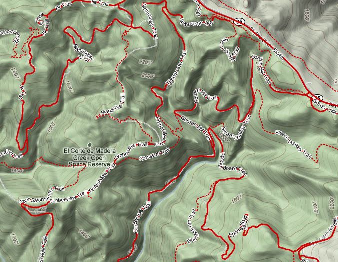
I'm also happy to help you turn any local data into map layers you can use. Local government agencies typically have all sorts of GIS data available if you know who to ask. Most counties will have aerial imagery from the USDA NAIP program, and your local park district has probably had someone walk all their trails with professional-quality GPS. Our local park trails don't appear on any topos; not only were they able to give us trail data, it also included closed/use trails that aren't supposed to be public knowledge but might tempt a lost person. Here's an example of some (public) trails rendered on top of Google's Terrain view:
In order to keep things simpler for me, I'd like to pass you the map data in large geographic blocks, typically comprised of 1-2 states. This way I can, say, create an OR/WA dataset once and then just give it to any team from that region. The basic process is:
1) Email me through this forum and let me know what geographic area you're interested in. Also let me know if you have any local data that you'd like me to convert into a map layer.
2) Ship me an external USB drive with your local data. You can buy a 1TB drive for less than $100.
3) It might take me a while to process everything.
4) I mail the drive back with my map data, a copy of the tile server program, and instructions for getting it running and integrated with MM.
By way of reference, California is about 100GB for the USGS/USFS/Relief/Contour layers combined, and 110GB for the aerial imagery.
I've invested a bunch of time and money creating these map layers and I'd like to make that back at some point, either by commercial licensing or through my own topo site. Not that I expect it to be an issue, but just because I'm sharing them doesn't make the map tiles public domain. You can certainly feel free to share copies with other SAR teams, though.
- Matt Jacobs
Bay Area Mountain Rescue
